Isothermal chart from H.M.S Challenger
Isothermal chart from H.M.S Challenger displaying a depth of 700/800 fathoms
16 charts illustrating ocean temperatures at different depths, taken from Reports of the Challenger cruise, 1872-76
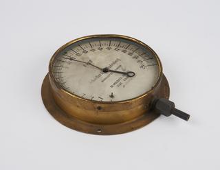
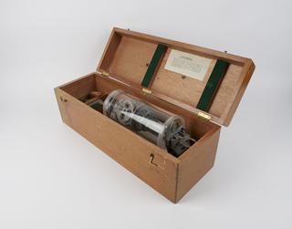
The Challenger Expedition, organised by the Royal Society and UK Hydrographic Office, circumnavigated the globe in order to study the physical, chemical and biological characteristics of the deep sea. Culminating in a series of detailed scientific reports, the expedition has sometimes been claimed to be the origin of modern oceanography. HMS Challenger, after which the expedition was named, was captained by Captain George Strong Nares; Scottish naturalist Charles Wyville Thomson led the six-man scientific team.
Isothermal chart from H.M.S Challenger displaying a depth of 700/800 fathoms
Isothermal chart from H.M.S Challenger displaying a depth of 100/200 fathoms
Isothermal chart from H.M.S Challenger displaying a depth of 300/400 fathoms.
Top chart showing mean annual specific gravity of the surface of the ocean. Bottom chart showing mean annual surface temperature of the ocean.
Isothermal chart from H.M.S Challenger displaying a depth of 500/600 fathoms
Isothermal chart from H.M.S Challenger displaying a depth of 1500/2200 fathoms
Isothermal chart from H.M.S Challenger displaying a depth of 900/1000 fathoms
Top chart showing bottom temperature of the ocean beneath 1000 fathoms and bottom chart showing specific gravities at the bottom of the ocean.