1500 Map entitled: 'A Plan shewing the line of the proposed navigation from Bishops Stortford, through part of Essex, Cambridgeshire and Suffolk, to the Brandon River, on the borders of Norfolk ... '
A collection of glass lantern slides capturing the development of flight from an early set of images from the 1909 aviation meeting held at Reims, France through to images of aircraft from Imperial Airways and flying boats in the late Thirties. The History of Aircraft and Flying
1130 Map: Plan of the Collieries on the Rivers Tyne and Wear also Blyth, Bedlington and Hartley; with the Country 11 Miles round Newcastle
1080 Plan of the Collieries on the Rivers Tyne and Wear also Blyth, Bedlington and Hartley; with the Country 11 Miles round Newcastle
670 Map of England and Wales with part of Scotland shewing distinctly the Navigable Canals & Rivers Now Completed or under Execution
105 Portrait photograph of Professor John Hopkinson, Professor Wilson and senior students at King's College, London
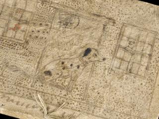
2 items Manuscript maps of the earth projected on a regular dodecahedron and on a regular tetrahedron
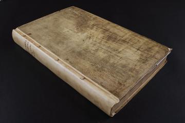
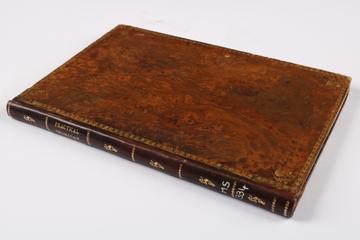
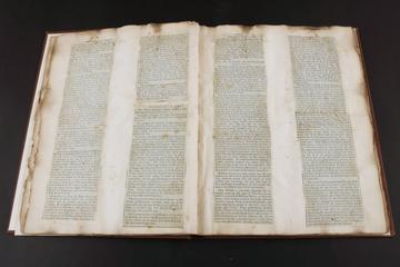
205 Volume entitled: "An Act for making Wet Docks, Basons, Cuts, and other Works, for the greater Accommodation and Security of Shipping, Commerce, and Revenue within the Port of London [and] An Act for warehousing Goods within the Limits of certain Docks"