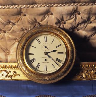
Clock from Queen Victoria's Saloon
1869
1869

1790-1819
1790-1819
1790-1819
1936-1940
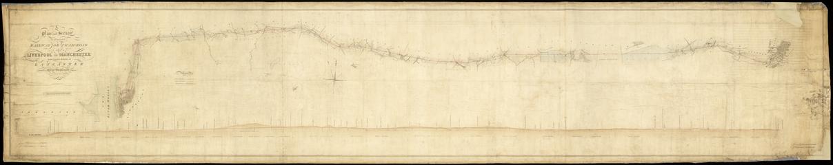
1790-1819
1790-1819
1840-c. 1920

1936-1940

1975
1999
1824-11-20
2000-1001 BCE
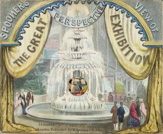
1851
circa 1936

1929

2000-100 BCE
1770

2000-100 BCE
1928
1938

1951
1923-1929

circa 1876-1977
1846-1860

1936
circa 1924

circa 1914

1851
1950-1959
2000-1001 BCE
circa 1927
1923-1947
1914
1924-1934
1923-1948
1928

1851
1851

circa 1930
1923-1947

1923-1928
1927-1936
1851

1923-1928

1925
1800-1899