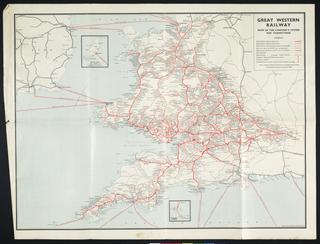
Great Western Railway map
circa 1900-circa 1948
circa 1900-circa 1948
1923-1948

1939

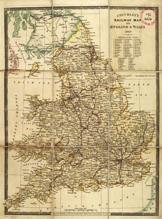
1845
1822
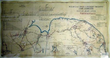
1906
1824-11-20
1836
1897

1835-1845
1913
1846

1830
1829
1901

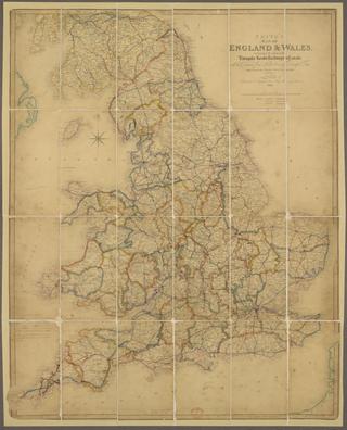
1844
1824-1830
1770
1921

1916

1858-1862

1847

1874
1911-1914

1846
1863
1914
1843
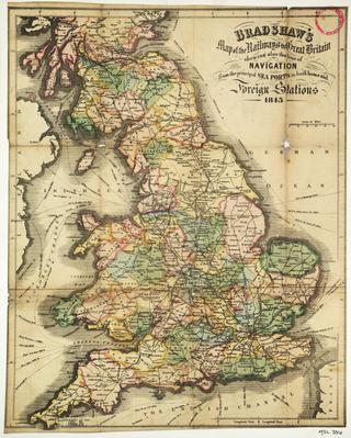
1845
1840
1954-1955
1827
1930
1910
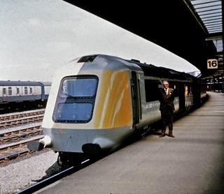
1985-05
1868-1869
1900-1923
1883
1901
1896
1923
1920-1929
1832-1842